Aid Stations 101
The following is a quick crash-course on volunteering at a ‘Superior’ aid station. If after reviewing this information you would like even more information, feel free to review the Aid Station Captains Section (helpful even if you are not a captain) https://www.superiorfalltrailrace.com/as-captains-section/ along with the list of Aid Station Supplies provided https://www.superiorfalltrailrace.com/aid-station-supplies/
Intro:
The most basic function of an aid station at a trail-race / ultramarathon is to provide runners with food and water so they can continue running and finish the race. From the race organizations standpoint, it gives us a place to check on the runners to make sure they are doing ok and are able to continue running. Aid stations are also a place from where we track runners progress, record their bib numbers etc. Simply put, the primary reason we have aid stations is for the runners safety and to help the runners accomplish their goal of finishing the race.
At times you may go a long while without seeing any runners and at other times, you may be dealing with a mass of runners all coming in at once. Runners needs will differ greatly – some may have a crew and will not need anything from the aid station, while others may need a lot of assistance from you. Late in a race, when runners are working hard and are fatigued, coming out of the woods into a lively aid station can be a disorienting experience. Don’t overwhelm the runners, instead calmly ask if you can help in any way, offer encouragement and generally be of assistance wherever you can.
Working an aid station – simplified:
• Spend some time in advance of the race studying the entire race website in order to learn as much as you can about the race. Having this knowledge will help you be the best resource possible for runners, their crews, pacers, spectators and your fellow volunteers.
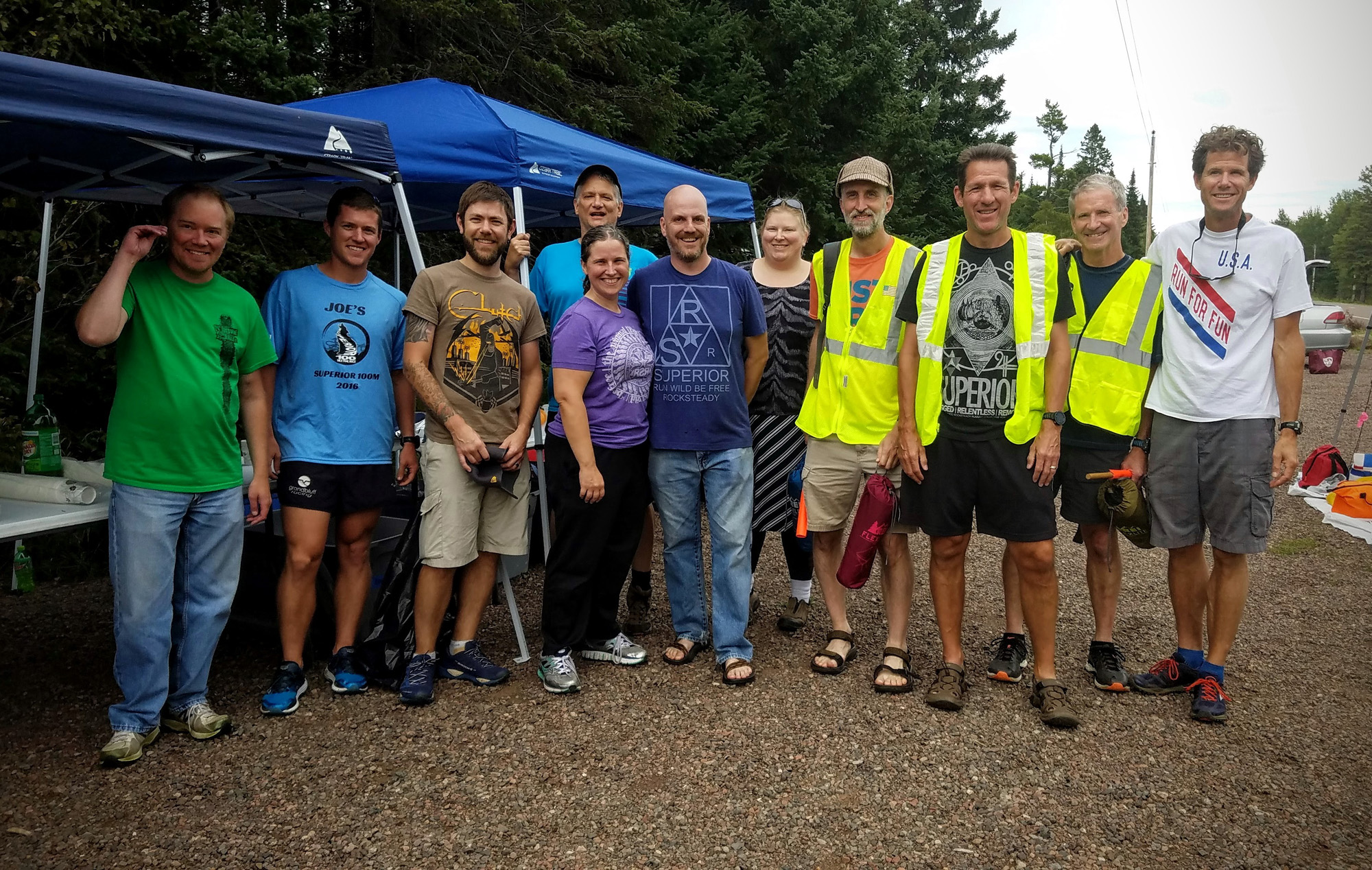
• Those working aid stations (especially long-duration / overnight aid stations) should plan to pack personal items similar to a camping trip; packable chair, rain gear, sun-screen, bug-spray, food (if you want something more than aid station food), tent or car camping setup for your crew to take turns getting some rest at overnight aid stations, warm clothes, headlamps / flashlights.
• Be prepared to arrive a little early / before the posted time your aid station is scheduled to open or before the time you are scheduled to start. Times posted are estimates, runners may arrive earlier so you should plan to arrive early. Familiarize yourself with all of the information in your aid station manual / folder and with all of the equipment that you have been provided with.
• Get yourself a name badge as this helps everyone identify you as a volunteer. Introduce yourself to your aid station mates and to the Ham Radio Operator(s) who are stationed at your aid station as well. Cell phones are not reliable at many of the aid station so we rely on Ham Radio Operators for the majority of official race communications. They can provide communication from aid station to aid station, from your aid station to the start / finish, from your aid station to the race director and in the event of an emergency can call for emergency services.
• Get the aid station equipment set-up, put out food and water, and be ready for the first runner.
• Fill water bottles, help find runners drop bags, help get and prepare food – generally just be of assistance to the runners and offer encouragement. When not in use, keep food covered, cold/hot, protected etc.
• If a runner is having a medical problem, notify the aid station captain, any identified medical personnel at your aid station (there may not always be one) and the Ham Radio Operators immediately so they can radio for help if needed.
• If a runner drops out of the race, make note of their bib number (write it down or take a picture if you have to) make sure you notify the aid station captain and Ham Radio Operators right away. We keep track of this information so we know who is on course at all times.
• When runners first come in, and later depart the aid station to continue running, the HAM Radio Operators will record their race numbers and times in and out of the aid station – help to ensure that the runner is heading the right way on the trail when they leave. Please also offer any assistance to the HAM Radio Operators in recording numbers and times especially during “peak” times when there are many runners coming in and out of your aid station.
• The trail “sweepers” will be shortly behind the last runner coming into the aid station. The sweeps are there to make sure that nobody is left behind / hurt on the trail, pick up course markings and pickup any garbage left on the trail. Be sure to offer the sweeps food and water when they arrive / before packing everything up. When the “sweeps” arrive, that is your cue that you can close your aid station.
• Cutoffs will be enforced by one of the sweeping coordinators. Sweeping coordinators will sometimes delegate the responsibility to an aid station captain or another surrogate should they need to move on to the next aid station.
• When you start packing up your aid station, please isolate dirty dishes into one bin. Pack all leftover food into another and all soda / soft-drinks into another so these items can be redistributed to later aid stations. Fold up your table(s), take down the tent(s) and leave in a neat pile with a water jug or something heavy to weigh down the food bin. Do not empty full water jugs, this water can be transported down the course to another aid station.
• Be sure to take care of yourself while volunteering. Coordinate rest with your fellow volunteers, stay fed and hydrated throughout.
• If you signed up to volunteer at least two-weeks in advance of the race, there will be a t-shirt (hat, beanie, etc. – whatever this years giveaway is) for you at the aid station in a bin. The aid station captain or someone that they assign should offer you a t-shirt. If you are not offered a t-shirt (it is probably because things got busy and everyone is focusing on the runners) please be sure to ask for yours or offer to distribute to all of the volunteers! If one is not available for you, or there is not enough for some reason, you can get it from the finish line or email the race director after the race.
• Your care and dedication for your fellow runners / humans is a beautiful thing – none of this would be possible with your involvement!